Electronic Aeronautical Charts & Navigation

Transform traditional paper charts into interactive, real-time electronic navigation aids that enhance flight safety and operational efficiency for pilots and air traffic controllers.

ADL Charts

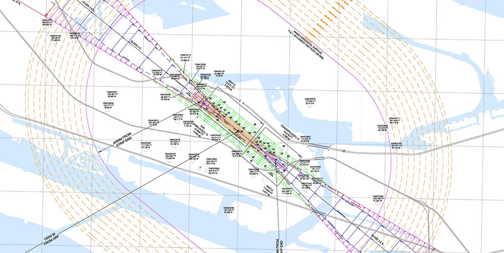
ADL eCharting – Precision-Driven Chart Production

ADL eCharting is a robust and adaptable platform built to support the design and management, of aeronautical charts in accordance with ICAO Annex 4.

Developed for civil aviation authorities and AIM service providers, it enables the generation of accurate, geo-referenced charts using layered vector graphics and national symbol libraries. With built-in support for AIXM 5.1, version control, and multi-format exports like PDF, .shp and TIFF, ADL eCharting bridges digital data with charting workflows—empowering users to deliver compliant, scalable, and visually consistent outputs.

eCharting Benefits

Precision Design

Our charts are designed with meticulous attention to detail, ensuring accurate representation of airspace, navigation aids, and terrain features.

Data-Driven

Charts are generated from a centralized aeronautical database, ensuring consistency across all publications and reducing the risk of errors.

Customizable

Tailor charts to your specific requirements with customizable layers, colour schemes, and information display options.

Key Features

ICAO Annex 4 Compliant
Layered Vector Graphics
Geo-Referenced Spatial Data
Custom Symbol Libraries
Version Control & Multi-Format Export (PDF, TIFF, .shp)
AIM Solutions

Ready to Transform Your Aviation Operations?

Discover how ADL's comprehensive AIM solutions can enhance your operational efficiency, ensure regulatory compliance, and improve aviation safety.

Safer Skies